
Nor’Easter?
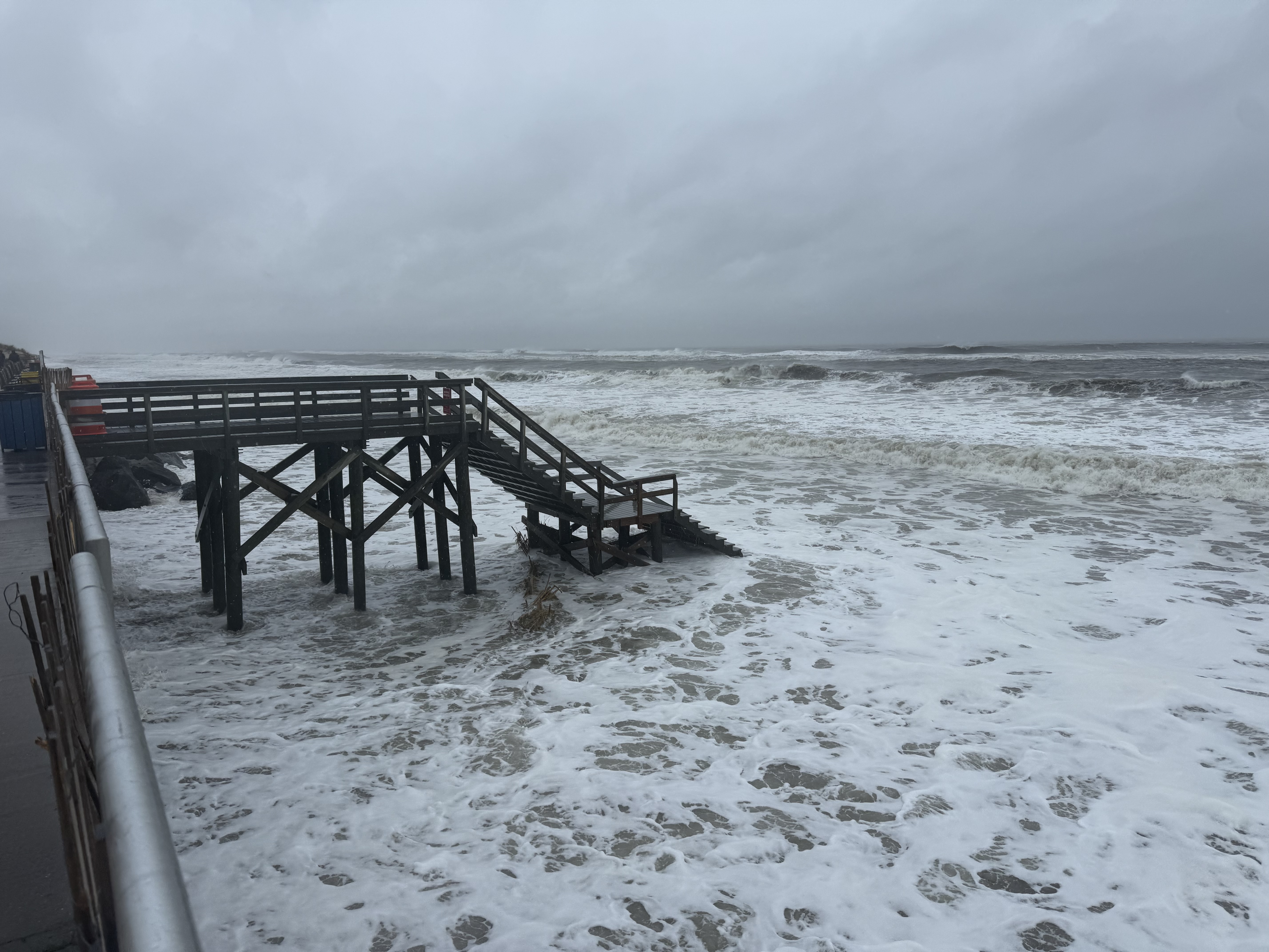
Nor’easter Update 9/27/25 at 2 PM: Smith Point
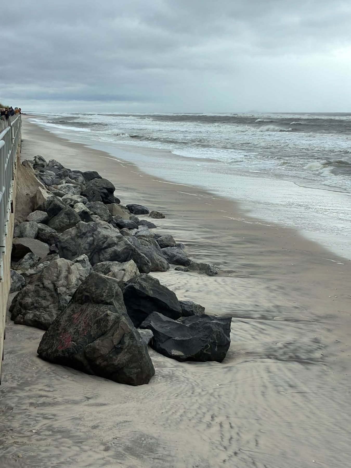
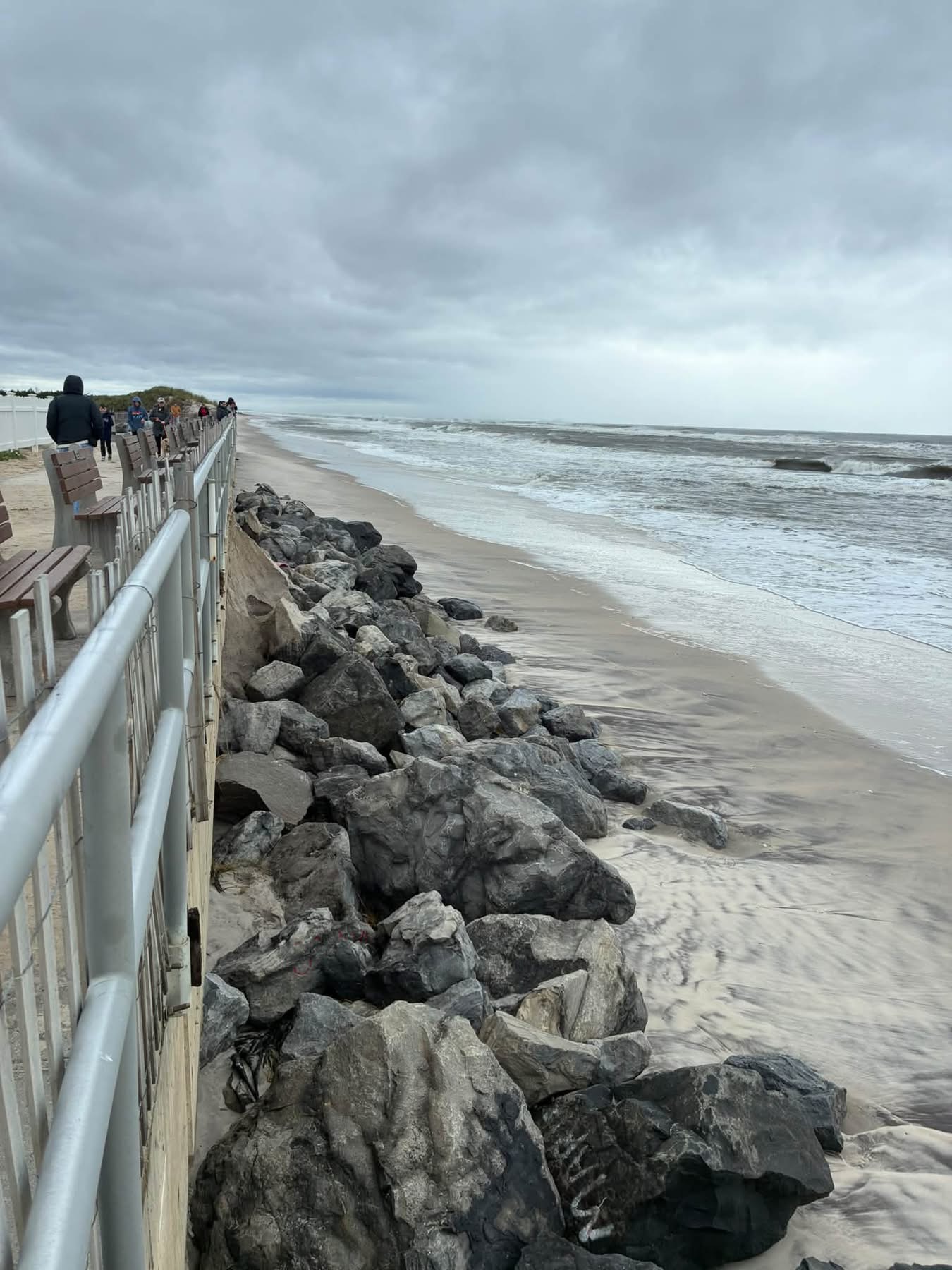
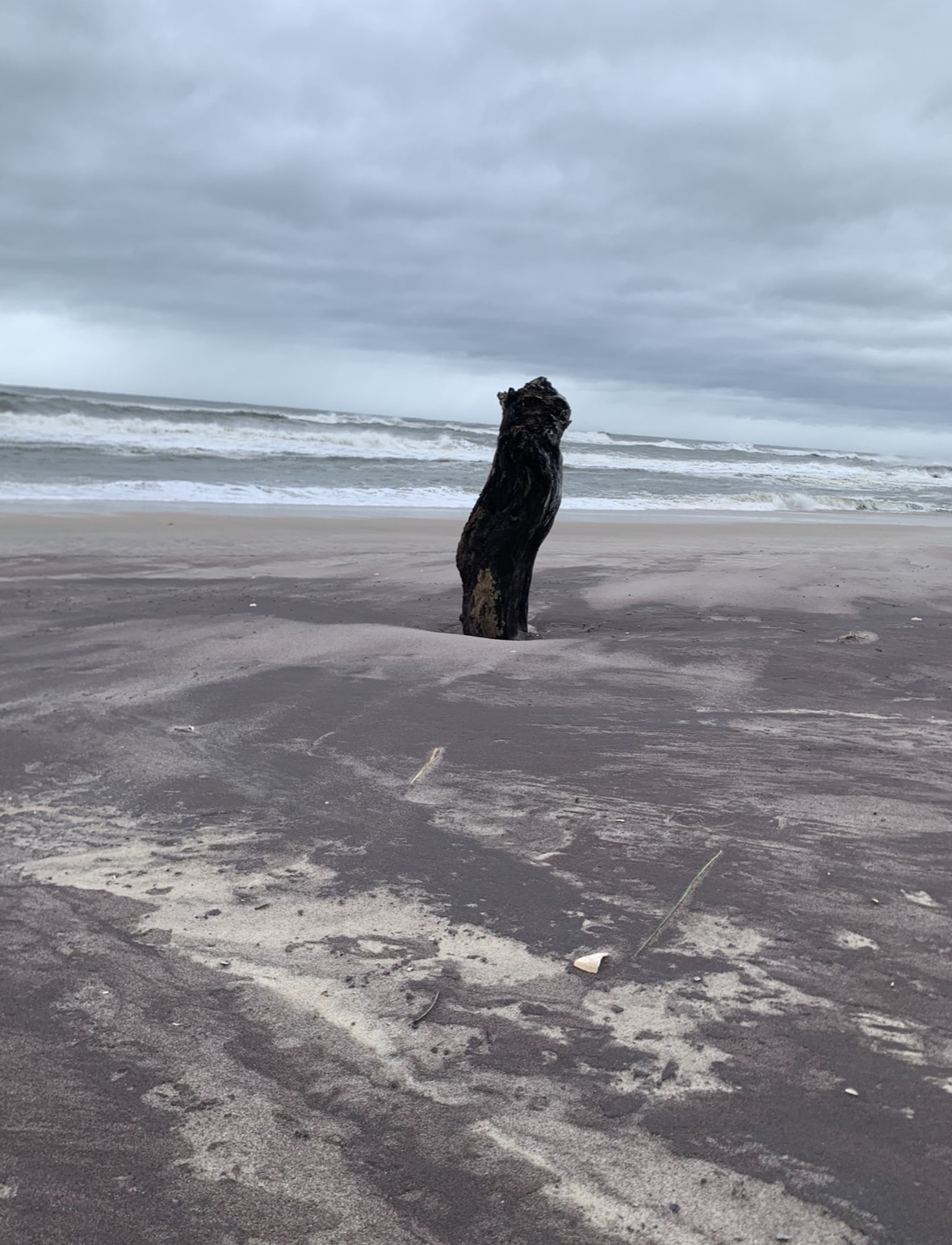
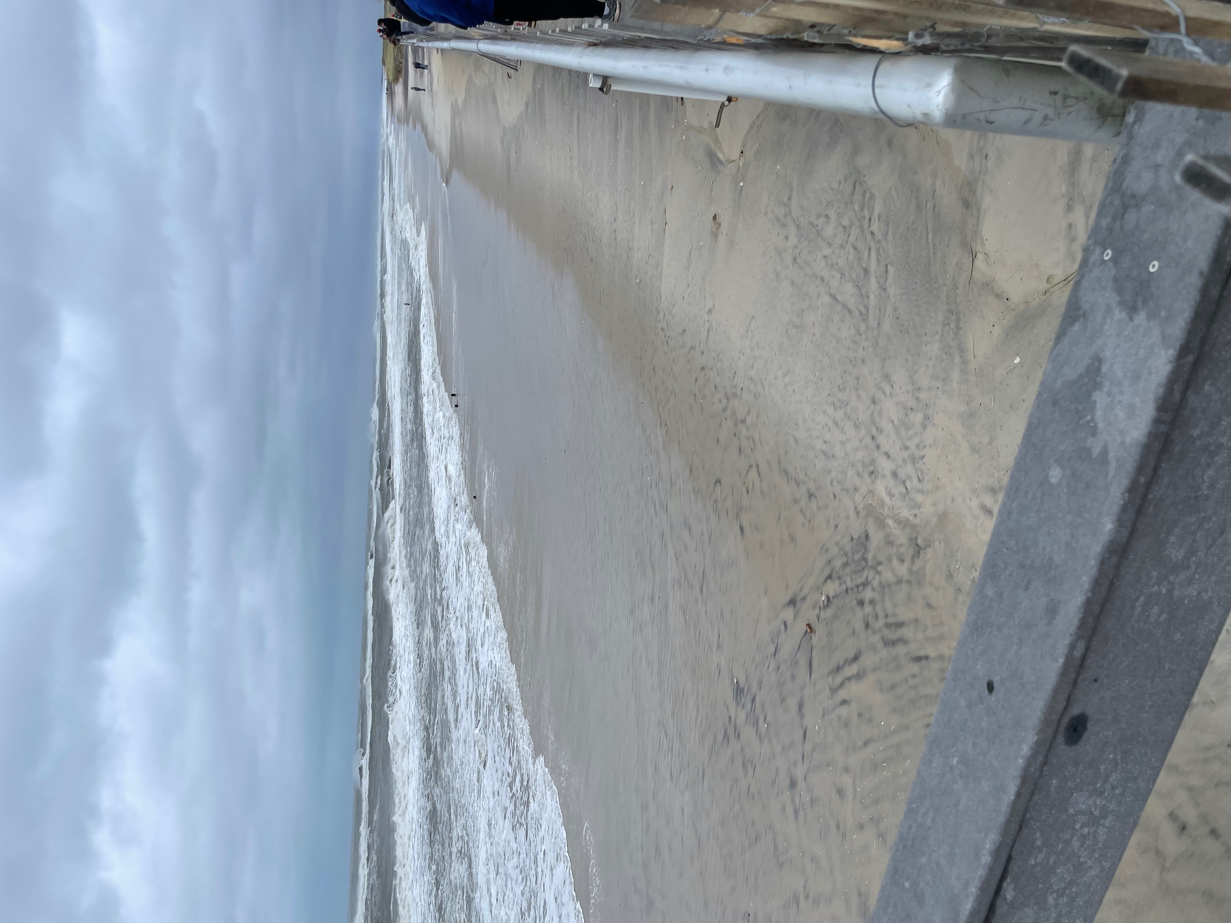
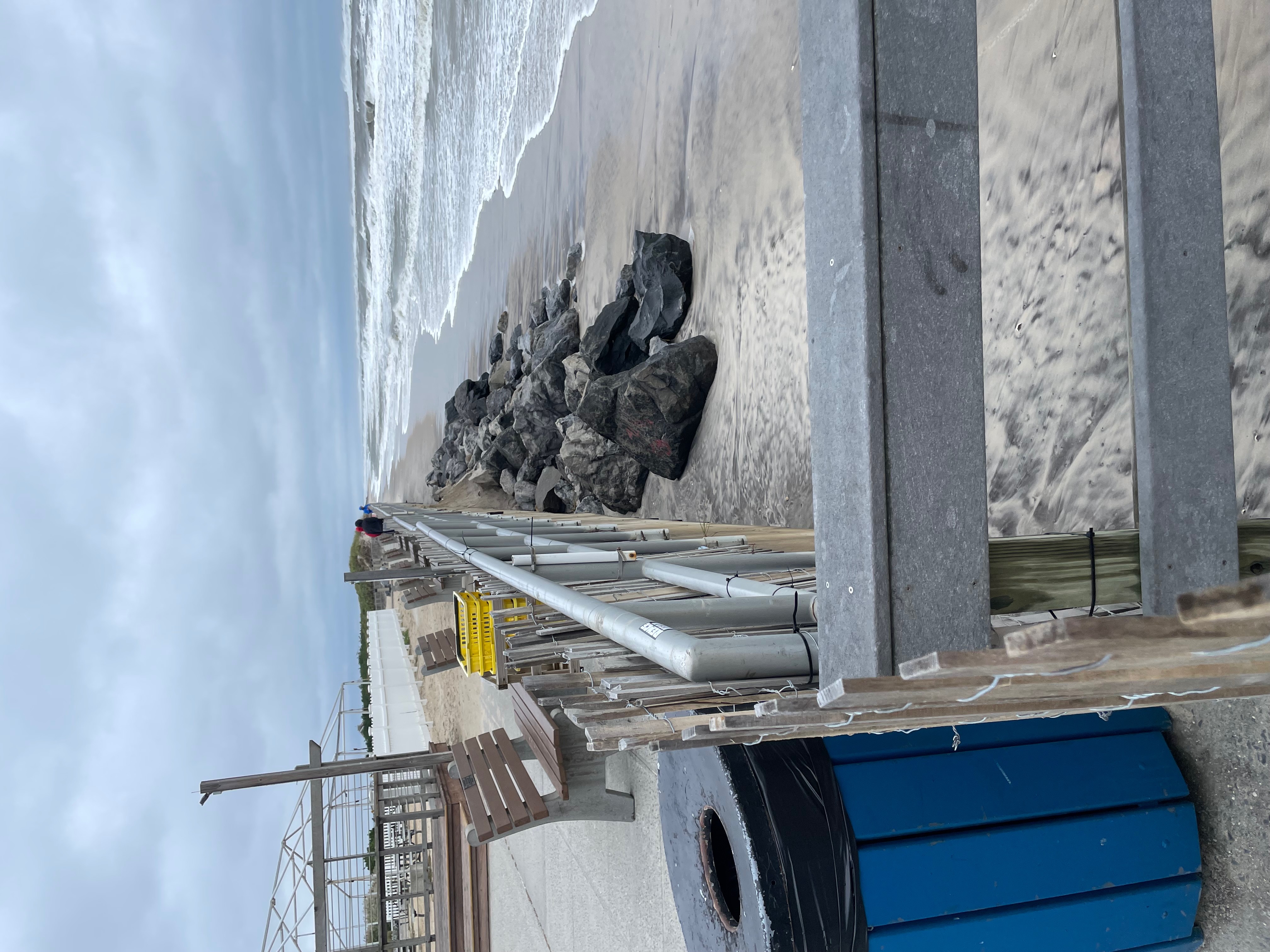
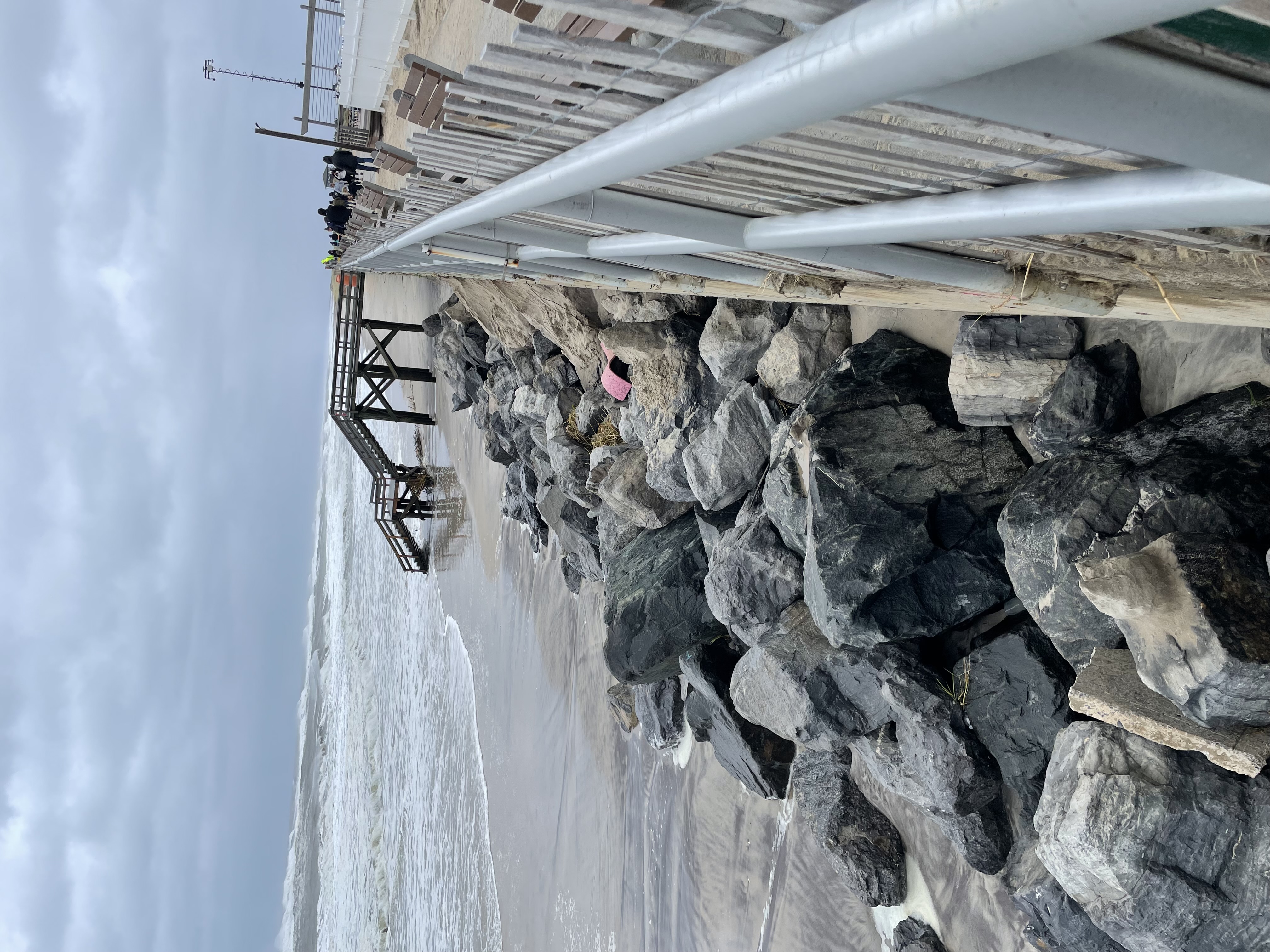
Meschutt Beach
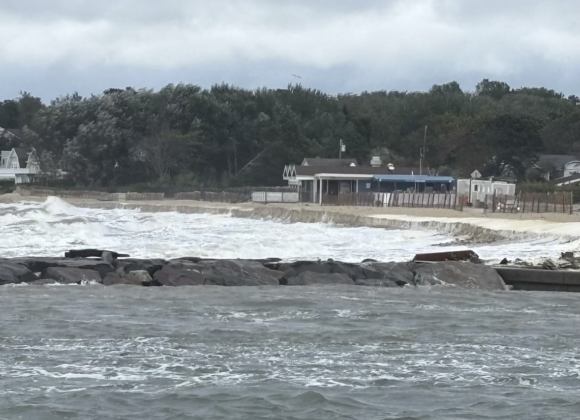
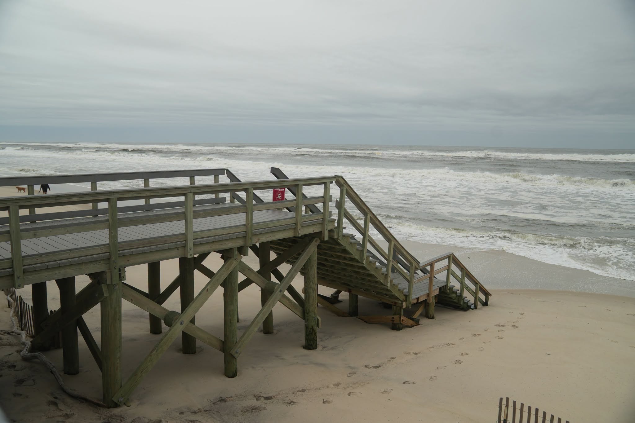
Nor’easter Update 9/26/25 at 9 AM: Standing along the shoreline at Smith Point, you can see the ocean has changed. The waves are bigger, stronger, and breaking all the way to the barrier. The ‘tide’ also appears way higher than normal. It is a reminder that even without a hurricane, a strong coastal storm can bring rough seas, devastating beach erosion, undertow and dangerous flooding to Long Island’s shorelines.

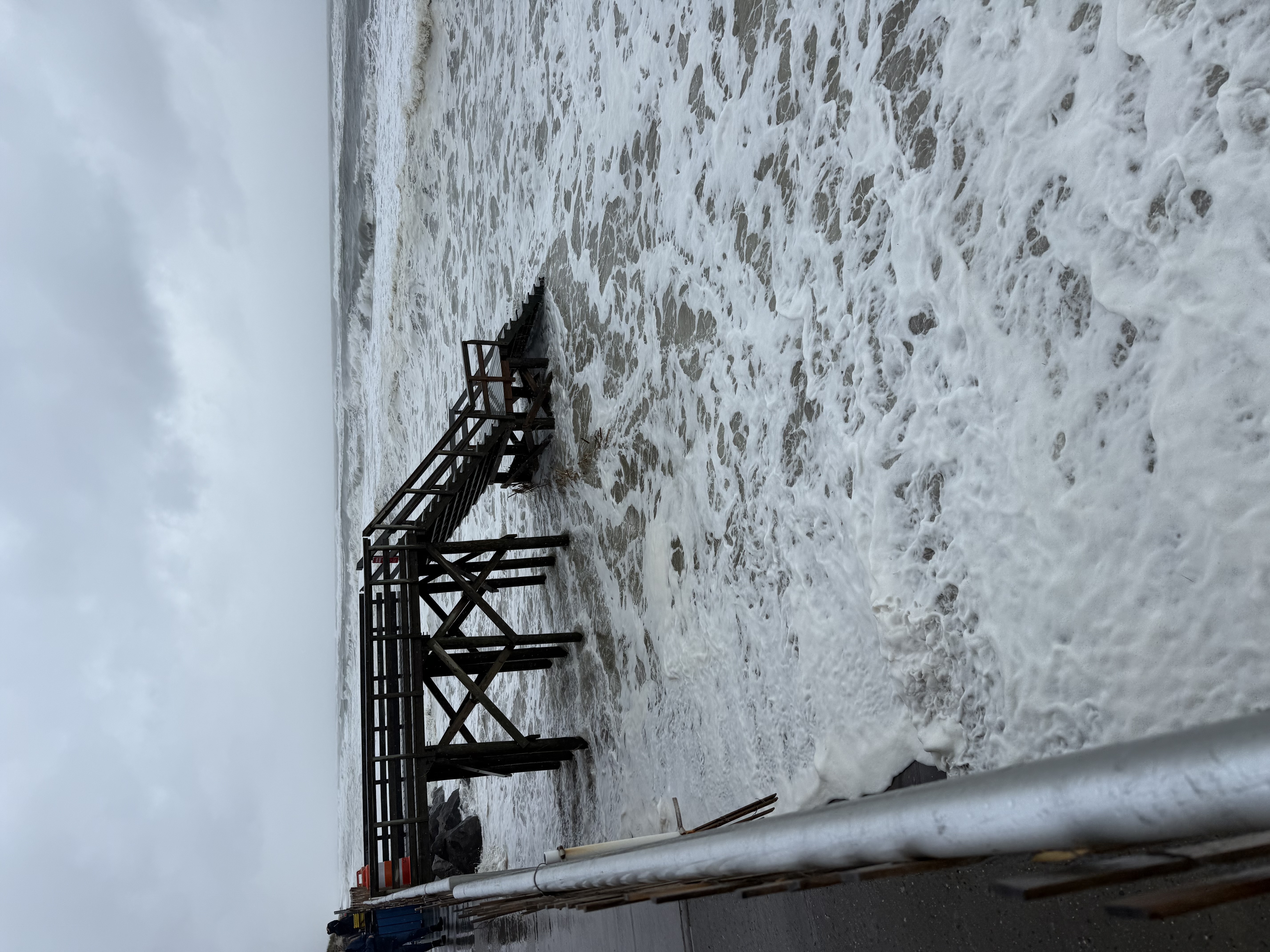
Nor’easter Update 9/25/26 at 5 PM; We expect flooding in low-lying communities and significant surf. Please make the appropriate preparations for your home. (Suffolk County Executive Office Facebook Page)


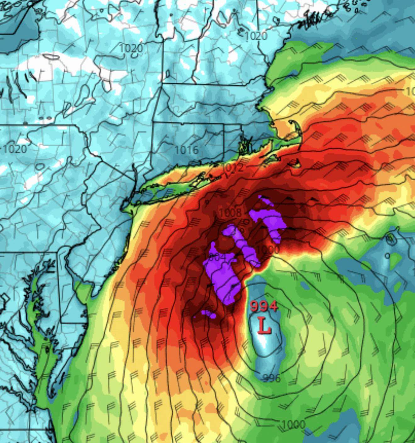
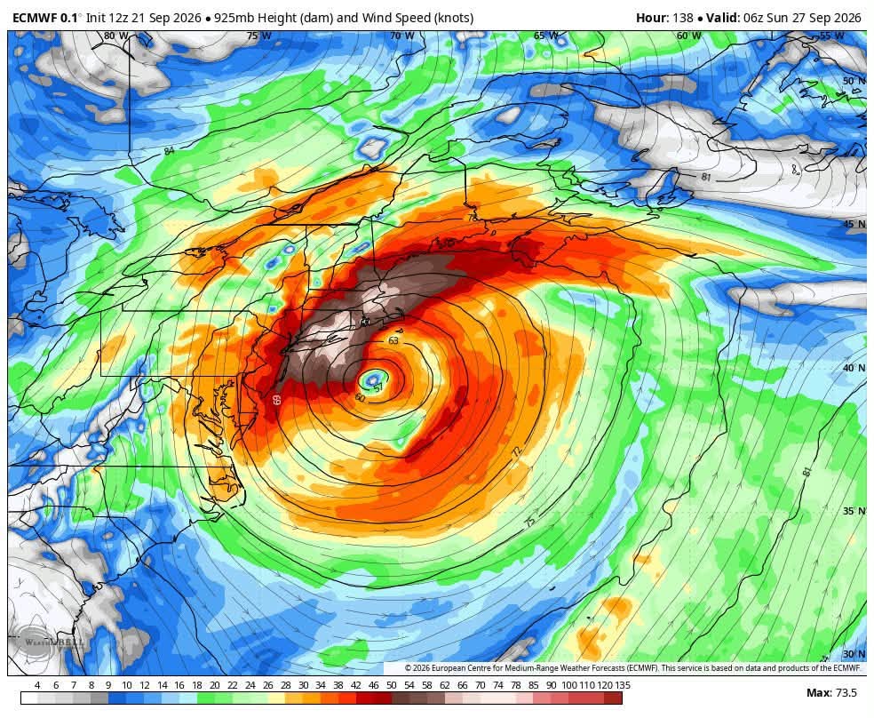
Nor’easter Update 9/24/26 at 5 PM: Forecast models are beginning to show more agreement, but the storm track remains uncertain. The latest GFS shifted significantly west, while the European model continues to show a potentially stronger coastal storm. If the stronger scenario develops, Long Island could see heavy rain, 55–65 mph wind gusts, coastal flooding, erosion, downed trees, and power outages. However, forecasters recommend waiting another 24–48 hours for greater consistency. Importantly, this is not a Sandy 2.0 scenario. Sandy was a much larger and more powerful storm with an exceptional surge and track. Residents should avoid unnecessary hype and rely on trusted local weather sources for updates.
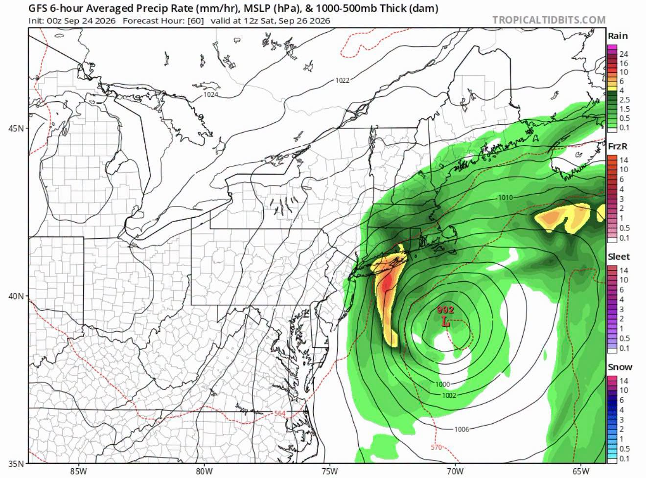
Nor’easter Update 9/23/26 at 5 PM: Friday Night Through Sunday… Confidence is increasing that a strong nor’easter will impact Long Island from Friday afternoon through Sunday morning. Strong winds are the biggest concern, with gusts potentially reaching 60 mph or higher, especially across eastern Long Island, creating risks for downed trees, limbs, and power outages. Coastal flooding is also a concern due to persistent northeast winds and Saturday’s full Harvest Moon. Moderate flooding is possible along vulnerable South Shore locations. Heavy rain is expected Friday into Saturday, with 1-3 inches possible, especially across eastern areas. Friday night through Saturday will likely bring the greatest impacts.
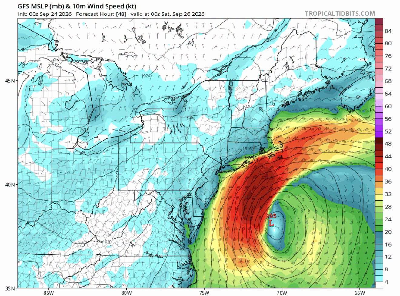
Nor’easter Update 9/22/26 at 5 PM: Forecasters are closely watching a potentially powerful storm that could become one of the most significant coastal storms for the Mid-Atlantic and New England since Hurricane Sandy. Current European and GFS models show a possible track toward the New Jersey coast, with similarities to Sandy and the 1991 Perfect Storm. The system could develop both tropical and extra-tropical characteristics, producing prolonged, potentially damaging offshore winds, coastal erosion, and significant storm surge from Cape Cod to New Jersey. However, this remains an evolving situation, and a reliable forecast is not yet possible. The next 24–48 hours should provide much greater clarity.
Leave a Reply